

Esri EADA10 - ArcGIS Desktop Associate
Which format is appropriate for exporting map documents that require vector layers to remains intact for further editing in another application?
A data frame in ArcMap is displaying layers from several different coordinate systems in a worldwide geographic coordinate system. There are several geographic coordinate system transformations listed in the Geographic Coordinate Systems Transformations dialog box. One of the transformations being used is inappropriate and must be changed.
How can the ArcGIS user change the transformation?
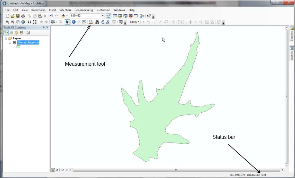
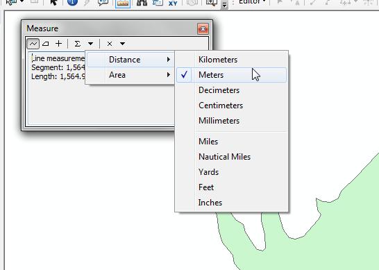
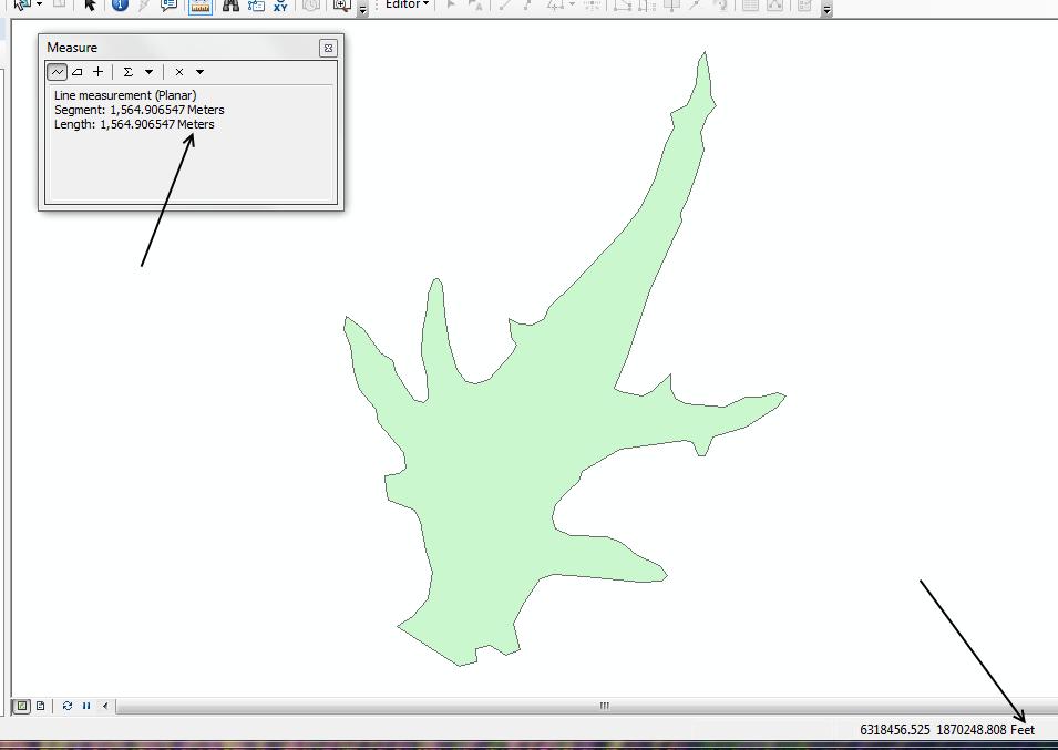
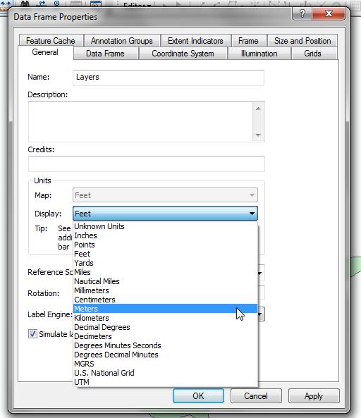
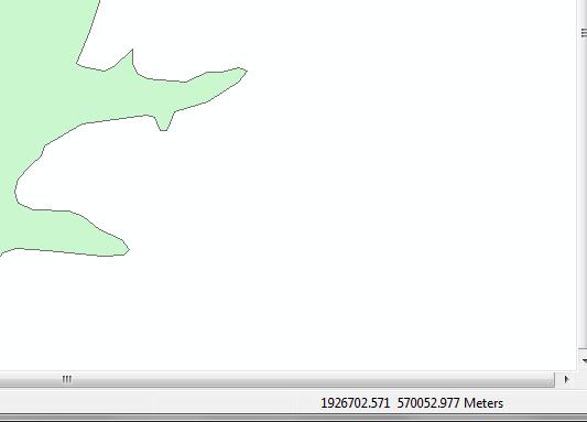
An ArcGIS user is viewing a feature layer that is being displayed in a projected coordinate system that uses meters as the units. The user needs to see the map coordinates displayed in the status bar as nautical miles.
How can the units be changed without changing the coordinate system?

An ArcGIS user is working within a map document and has realized that the Table of Contents is no longer available. Which menu must the user choose to add the Table of Contents to his map document?
Under which two circumstances is it appropriate for an ArcGIS user to use Data Driven Pages? (Choose two)
An ArcGIS user needs to determine the least expensive tract of land with the least environmental impact for use in a construction project. The user has two raster datasets that have been converted to a common measurement scale (Land, Value, range: 1-9 Environmental Impact, range: 1-9)
Which tool should they use to determine the most viable tract?
An ArcGIS user wants editable text that can be added as a layer to many different map documents.
Which type of text should be created?
Given a feature class of an advancing wild fire, which analysis should be used to prepare a map showing the progression of wild fire?